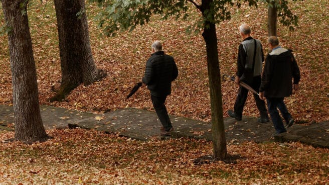

A week of rain and cold due to the “atmospheric river”.
Although this Tuesday the 18th feels like a full summer day, temperatures will drop sharply from Wednesday and rains will begin and last until at least the weekend.
The culprit is the atmospheric river. This meteorological phenomenon consists of an area in the form of an elongated band that carries a large amount of water in the atmosphere. Under the right conditions, this large amount of water could condense and precipitate, which is likely to happen this week. In the case of the peninsula, in addition, high mountains and mountain ranges would help to “squeeze out” more water, explains eltiempo.es.
As of Wednesday, this will lead to a front in the west of the peninsula, which will leave heavy rains in Galicia and areas in the north of Cáceres. Showers will also be expected in other parts of the country.
Between Thursday and Friday, in addition, a cold and rainy front will reach Galicia and the southern slopes of the Central System. Rain will also occur on the rest of the Atlantic slope, although a priori they will be less significant. Uncertainty increases even more ahead of the weekend, but it is likely that rains will continue across the entire Atlantic slope of the country.
summer day
Temperatures on Tuesday are unusually warm considering it’s late autumn. The heat does not go away, and on Tuesday the thermometers in several regions of the country will rise to 30 degrees, and the kalima will hide.
As the Copernicus satellite showed, the haze will be present on the peninsula until the 19th and will reach France. So the first rains of the coming days will be mudflows, especially in the west and south of the peninsula, according to the State Meteorological Agency (Aemet).
According to the portal Meteored, a radical change in temperature will occur from Wednesday, October 26, with a significant drop in the thermometer. A minimum of 6º is expected in Ávila, 7º in Soria, León… In almost the entire community of Castile and León, minimums will not exceed 9º degrees as November approaches.
Important lower lows next week
In Madrid they will be close to 9º, in Ciudad Real they will be 12º, in Cuenca 10º, in Cáceres 15º, Soria 10º, Murcia 13º, Oviedo 14º, Zaragoza 15º… This will be the case from 26 October, although later temperatures will be regulated to until it drops to 5 degrees a few days later in most of Spain. Saturday the 29th will be very cold. The two coldest areas will be Soria with 3º and Cuenca with 5º.
The Canary Islands, Ceuta and Melilla retain their warm climates and you hardly notice the change of month or temperature. In the Balearic Islands, the minimums are decreasing, but at 16º before they remain at 20º and 19º.
Source: El Independiente