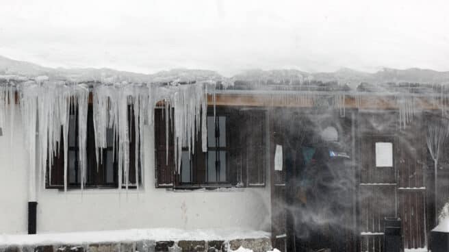

Negative temperatures are recorded mainly in the north of Navarre.
The State Meteorological Agency (Aemet) announces for tomorrow, Sunday, lowering the maximum temperature in most of the Iberian Peninsula, with the exception of the Guadalquivir Valley, and in the Balearic Islands, as well as massive frosts in the interior of the peninsula.
Aemet expects that the sky will be clear except for the area of Cantabria, the northern plateau and the upper Ebro, where there will be periods of cloud cover and light precipitation is forecast in eastern Cantabria.
can also slightly more cloudy during the day in the channel area and in the east of the Balearic Islands, and in the Canary Islands cloudy intervals, which will be more abundant in the north islands of greater relief, where individual showers are likely, are generally weak.
Fog possible in the hinterland of eastern Cantabria, the upper Ebro and northern Iberia. They are not excluded in the depressions of the northeast and inland regions of Galicia and around the Cantabrian ridge.
the minimum temperature will rise in areas of the northern third of the peninsula, in the southeast and in the Balearic archipelago
Snow level in the Canary Islands It will be from 1600 to 1800 meters.
He the wind will blow at strong intervals in Ampurdan, Menorca, on the coast of Galicia and in the region of the strait. Cierzo in the Ebro, wind from the east in the Bay of Biscay and from the northeast in the Canary Islands and northern plateau. Otherwise, variable weak wind with a predominance of the north-easterly direction.
Source: El Independiente