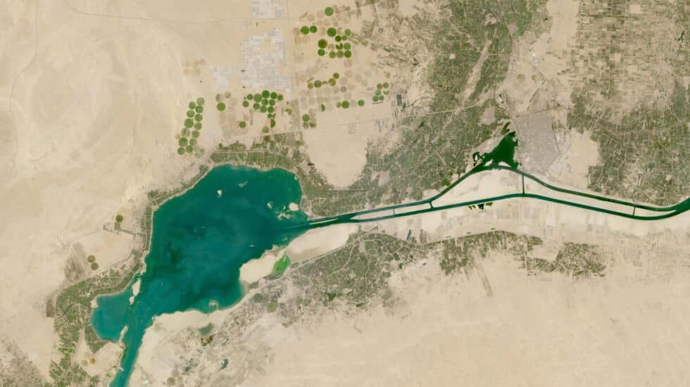

Satellite image from NASA.
NASA’s images of the earth’s surface over decades are an endless source of information that no human team can use. But it can be done by artificial intelligence (AI), which has already shown its potential in finding patterns in image databases, such as X-ray studies that have taught AI to predict breast cancer.
IBM and NASA’s Marshall Space Flight Center have teamed up to use IBM-developed AI to discover new concepts in NASA’s massive volume of Earth and geospatial science data. The collaboration will for the first time apply core AI modeling technology to petabytes of NASA Earth Observation satellite data. Base models are a form of AI deep learning that is trained on a large set of raw data and can be used for a variety of tasks or to apply information from one situation to another.
Petabyte (PB) is a storage unit of data equivalent to 1,000 terabytes (TB) or 1,000,000 gigabytes (GB). It is used to describe the capacity of large data servers and cloud storage systems.
“We are training a geospatial model on NASA’s Harmonized Landsat Sentinel-2 (HLS) dataset, records of surface changes and land use captured by satellites in Earth orbit,” they explain. Independent from IBM Spain. “This foundational modeling technology will help researchers critically analyze our planet’s ecological and climate systems; for example, changes in the geographic coverage of events such as natural disasters, cyclical crop production, and wildlife habitats.”
AI, ally of the Earth
IBM and NASA plan to develop new scientific technologies that improve Earth observation. IBM has developed a Natural Language Processing (NLP) model trained on nearly 300,000 geoscience journal articles to streamline the literature and facilitate the discovery of new knowledge. NLP technology is used by the popular GPT-3 chat.
This tool for scientists is one of the largest AI workloads trained on Red Hat OpenShift software to date, according to IBM. The fully trained model uses PrimeQA, IBM’s open source multilingual question and answer system. From a multinational corporation, they argue that in addition to providing resources to researchers, a new language model for geosciences can be introduced into NASA’s science data management and administration processes.
Projects that have been launched between IBM and NASA aim to make it easier to access data and detect changes in the planet’s ecosystems, but another ongoing project could go further and offer climate predictions. “We hope that researchers using the data will be able to draw more accurate conclusions for their work. Other potential IBM-NASA collaborations under this agreement include building a basic model for weather and climate prediction using MERRA2, an atmospheric observational dataset,” explains IBM Spain.
Source: El Independiente